Geographic data conversion using grid-level data
The case of Austrian municipalities and ZIP code areas
DOI:
https://doi.org/10.18335/region.v13i2.620Abstract
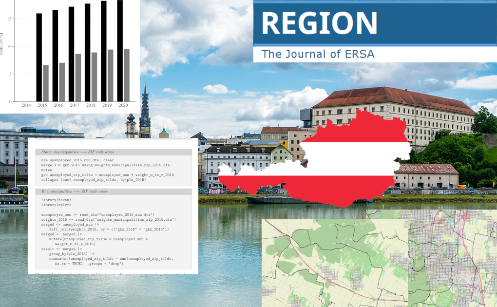
Researchers often need to convert variables between non-hierarchical regions. This article presents a method for calculating non-binary, population-based conversion weights for Austrian municipalities and ZIP code areas using 250-meter grid-level population data. Due to the increasing availability of small-scale grid data, this approach can be applied to other countries as well. To evaluate the accuracy of the data conversion, the article compares the converted data with the observed data for population, employment, retirees, unemployment, and supermarkets, finding median absolute percentage errors ranging from 0.25% to 2.47%. This approach substantially outperforms naive binary assignments, especially when the source regions are split relatively evenly among the target regions. Year-specific weights are provided for the years 2013 to 2020, along with implementation examples for Stata and R, to facilitate adoption.
References
Arntz M, Wilke RA (2007) An application of cartographic area interpolation to German administrative data. AStA Advances in Statistical Analysis 91: 159--180. https://doi.org/10.1007/s10182-007-0022-5
Bergs R, Budde R (2022) The potential of small-scale spatial data in regional science. Review of Regional Research 42: 97--110. https://doi.org/10.1007/s10037-022-00172-3
Eurostat (2019) Methodological manual on territorial typologies: 2018 edition. Publications Office of the European Union. https://doi.org/10.2785/930137
Goodchild MF, Lam NSN (1980) Areal interpolation: A variant of the traditional spatial problem. Geo-processing 1: 297--312
Gordon RA (2023) Applied statistics for the social and health sciences. Routledge. https://doi.org/10.4324/9781003314530
Gotway C, Young L (2002) Combining incompatible spatial data. Journal of the American Statistical Association 97: 632--648. https://doi.org/10.1198/016214502760047140
Gregory IN (2002) The accuracy of areal interpolation techniques: Standardising 19th and 20th century census data to allow long-term comparisons. Computers, Environment and Urban Systems 26: 293--314. https://doi.org/10.1016/s0198-9715(01)00013-8
Gregory IN, Ell PS (2005) Breaking the boundaries: Geographical approaches to integrating 200 years of the census. Journal of the Royal Statistical Society Series A: Statistics in Society 168: 419--437. https://doi.org/10.1111/j.1467-985X.2005.00356.x
Groß M, Kreutzmann AK, Rendtel U, Schmid T, Tzavidis N (2020) Switching between different non-hierachical administrative areas via simulated geo-coordinates: A case study for student residents in Berlin. Journal of Official Statistics 36: 297--314. https://doi.org/10.2478/jos-2020-0016
Leyk S, Gaughan AE, Adamo SB, de Sherbinin A, Balk D, Freire S, Rose A, Stevens FR, Blankespoor B, Frye C, Comenetz J, Sorichetta A, MacManus K, Pistolesi L, Levy M, Tatem AJ, Pesaresi M (2019) The spatial allocation of population: A review of large-scale gridded population data products and their fitness for use. Earth System Science Data 11: 1385--1409. https://doi.org/10.5194/essd-11-1385-2019
Logan JR, Xu Z, Stults BJ (2014) Interpolating us decennial census tract data from as early as 1970 to 2010: A longitudinal tract database. The Professional Geographer 66: 412--420. https://doi.org/10.1080/00330124.2014.905156
Mennis J (2009) Dasymetric mapping for estimating population in small areas. Geography Compass 3: 727--745. https://doi.org/10.1111/j.1749-8198.2009.00220.x
Musil R, Schnell P, Dlabaja C (2024) Machbarkeitsstudie: Datenbasis zu Obdachlosigkeit, Wohnungslosigkeit und prekärem Wohnen. Bundesministerium für Soziales, Gesundheit, Pflege und Konsumentenschutz (BMSGPK)
Netrdová P, Nosek V, Hurbánek P (2020) Using areal interpolation to deal with differing regional structures in international research. ISPRS International Journal of Geo-Information 9. https://doi.org/10.3390/ijgi9020126
Norman P (2010) Identifying change over time in small area socio-economic deprivation. Applied Spatial Analysis and Policy 3: 107--138. https://doi.org/10.1007/s12061-009-9036-6
Norman P, Rees P, Boyle P (2003) Achieving data compatibility over space and time: Creating consistent geographical zones. International Journal of Population Geography 9: 365--386. https://doi.org/10.1002/ijpg.294
Openshaw S, Taylor P (1979) A million or so correlated coefficients: Three experiment on the modifiable areal unit problem. In: Wrigley N (ed), Statistical applications in spatial sciences. Pion
Pennerstorfer D (2026) Geographic data conversion using grid-level data: The case of Austrian municipalities and ZIP code areas. Supplementary data, version v1, Zenodo. https://doi.org/10.5281/zenodo.23474497
Pennerstorfer D, Yontcheva B (2021) Local market definition in competition analysis: An application to entry models. Economics Letters 198: 109678. https://doi.org/10.1016/j.econlet.2020.109678
Prorok T, Calzola S (2026) European local government report 2025: Structures, finances and functions of local governments in the European Union. KDZ -- Centre for Public Administration Research, Vienna, Austria, https://www.kdz.eu/system/files/downloads/2026-03/European%20Local%20Government%20Report%202025.pdf
Schroeder JP (2007) Target-density weighting interpolation and uncertainty evaluation for temporal analysis of census data. Geographical Analysis 39: 311--335. https://doi.org/10.1111/j.1538-4632.2007.00706.x
Simpson L (2002) Geography conversion tables: A framework for conversion of data between geographical units. International Journal of Population Geography 8: 69--82. https://doi.org/10.1002/ijpg.235
Statistics Austria (2024) Machbarkeitsstudie Nutzung von Verwaltungsregistern zur zeitnahen Bestimmung von Personengemeinschaften insbesondere für zielgerichtete Förderungen. Statistics Austria
Stötzer S, Stangl M, Brödl C (2020) Auswirkungen von Gemeindestrukturreformen – Eine Einzelfallstudie einer Gemeindefusion in der österreichischen Steiermark. dms – der moderne staat – Zeitschrift für Public Policy, Recht und Management 13: 217--240. https://doi.org/10.3224/dms.v13i1.03
Tobler WR (1979) Smooth pycnophylactic interpolation for geographical regions. Journal of the American Statistical Association 74: 519--530. https://doi.org/10.1080/01621459.1979.10481647
Vasan S, Baker J, Alc'antara A (2018) Use of kernel density and raster manipulation in GIS to predict population in New Mexico census tracts. Review of Economics Finance 14: 25--38. https://doi.org/10.13140/RG.2.1.2955.4804
Zandbergen PA, Ignizio DA (2010) Comparison of dasymetric mapping techniques for small-area population estimates. Cartography and Geographic Information Science 37: 199--214. https://doi.org/10.1559/152304010792194985
Zhang C, Qiu F (2011) A point-based intelligent approach to areal interpolation. The Professional Geographer 63: 262--276. https://doi.org/10.1080/00330124.2010.547792
Downloads
Published
How to Cite
Issue
Section



License
Copyright (c) 2026 Dieter Pennerstorfer

This work is licensed under a Creative Commons Attribution 4.0 International License.
REGION is an open journal, and uses the standard Creative Commons license: Copyright We want authors to retain the maximum control over their work consistent with the first goal. For this reason, authors who publish in REGION will release their articles under the Creative Commons Attribution license. This license allows anyone to copy and distribute the article provided that appropriate attribution is given to REGION and the authors. For details of the rights authors grant users of their work, see the "human-readable summary" of the license, with a link to the full license. (Note that "you" refers to a user, not an author, in the summary.) Upon submission, the authors agree that the following three items are true: 1) The manuscript named above: a) represents valid work and neither it nor any other that I have written with substantially similar content has been published before in any form except as a preprint, b) is not concurrently submitted to another publication, and c) does not infringe anyone’s copyright. The Author(s) holds ERSA, WU, REGION, and the Editors of REGION harmless against all copyright claims. d) I have, or a coauthor has, had sufficient access to the data to verify the manuscript’s scientific integrity. 2) If asked, I will provide or fully cooperate in providing the data on which the manuscript is based so the editors or their assignees can examine it (where possible) 3) For papers with more than one author, I as the submitter have the permission of the coauthors to submit this work, and all authors agree that the corresponding author will be the main correspondent with the editorial office, and review the edited manuscript and proof. If there is only one author, I will be the corresponding author and agree to handle these responsibilities.